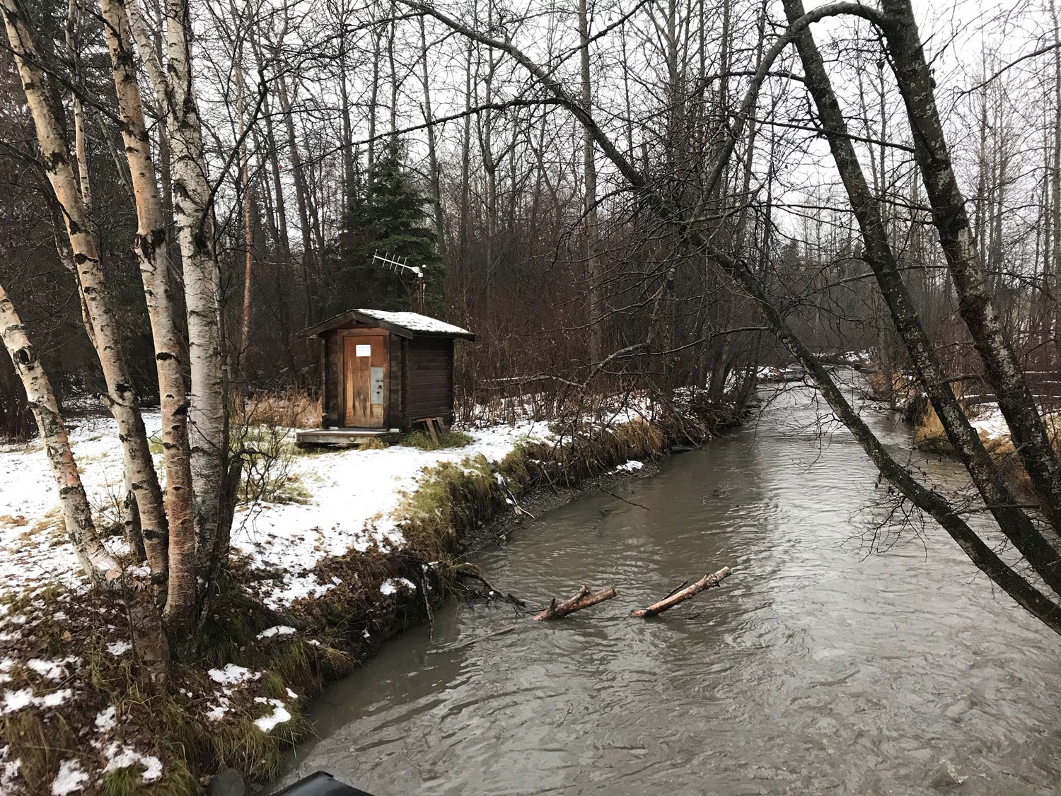

U.S. Geological Survey – Used to generate continuous streamflow information year-round, a streamgage is a structure installed beside a stream or river that contains equipment to measures and record the water level of the stream.
Used during emergencies to provide water level information, as well as collecting both streamflow and continuous water-quality data, these gages constitute the National Streamflow Network for flood-frequency analyses.
Comments are closed